Dassault Systèmes Enables Magic Myna to Streamline UAV Design with 3DEXPERIENCE on the Cloud
Redefining supply chain efficiency with rugged drones.
Magic Myna Private Limited offers specialized drone-based courses in mapping, modelling, and surveying, building on DGCA-approved Remote Pilot Certificate training for small drones (2-25kg). These advanced programs equip participants with practical skills for professional applications in land surveying, 3D modelling, and geospatial data analysis using rotorcraft like Quad-copters.
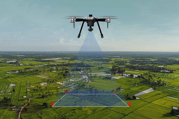
Participants learn photogrammetry principles, flight planning for data capture, and processing techniques for orthomosaics and 3D models. Training includes hands-on missions with simulators and field practice at T&I Projects Limited, SF 815, Bodipalayam, Serapalayam, Coimbatore, TN-641105.
Ideal for certified drone pilots, surveyors, agriculture professionals, and construction experts seeking surveying skills. No prior experience beyond basic RPC required; suitable for students and career switchers in Coimbatore